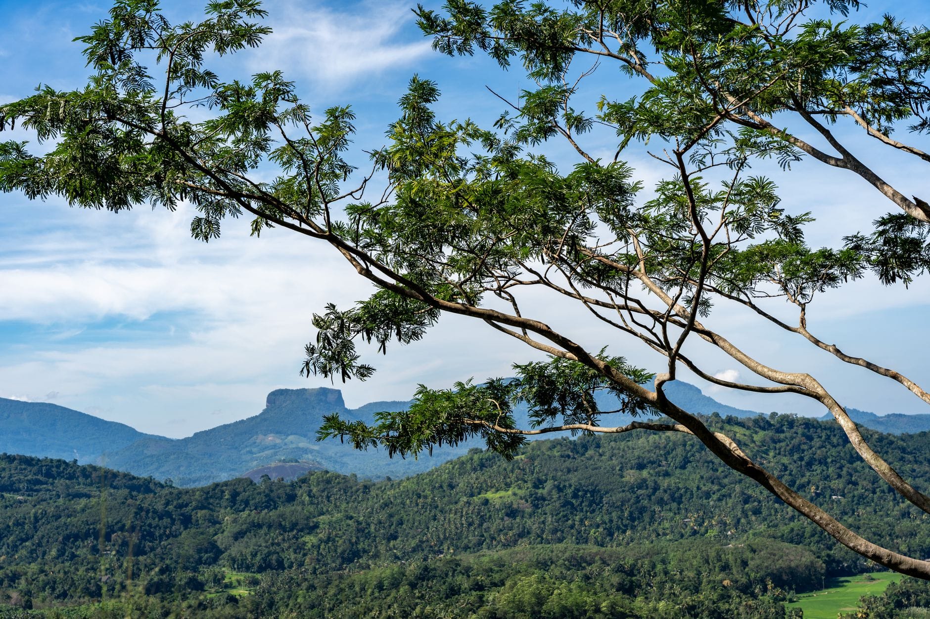
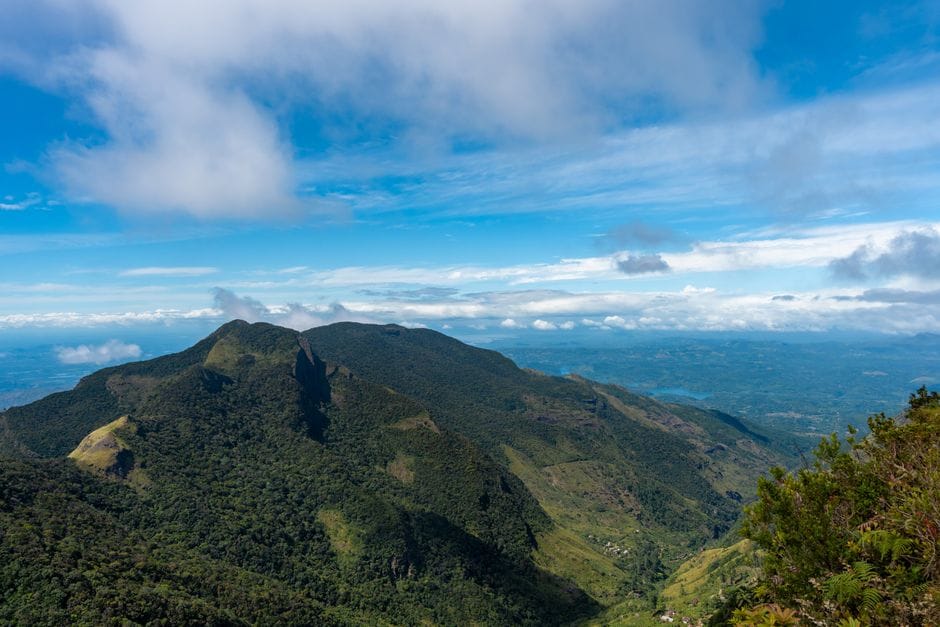
The Knuckles Mountain Range, called Dumbara Kanduvetiya in Sinhala, is a wild block of cloud forest and grassland north-east of Kandy. It is part of the Central Highlands of Sri Lanka World Heritage Site, and it has some of the island's best hiking away from the crowds. This guide explains which side to start from, how tickets and guides work, which hikes to choose and how to stay safe.
Quick answer: hike Knuckles with a licensed local guide, in the drier months, starting early. From Kandy, go to the Deanston conservation centre on the eastern side; from Matale, go to Riverston and Corbet's Gap. Buy your Forest Department ticket at the office at your entry point, and carry water, food and leech protection.
Step 1: Know the main peaks
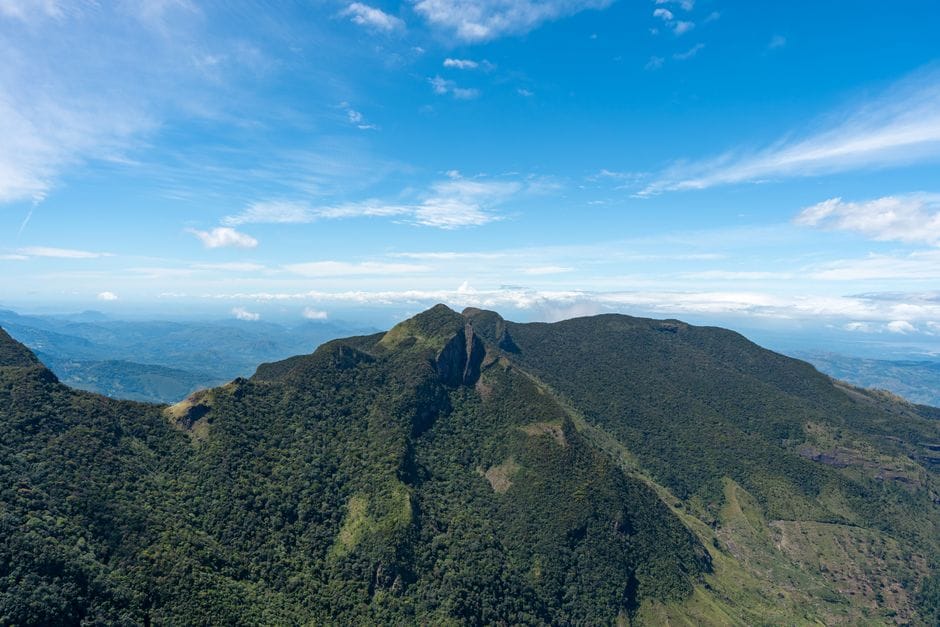
The range has around 35 peaks above 900 metres. The highest is Gombaniya, at about 1,906 m. Knuckles Peak, which gives the range its name because the summits look like the knuckles of a clenched fist from Kandy, is about 1,863 m. Other popular summits include Dothalugala, at about 1,560 m. Heights vary slightly between sources, so treat these as approximate.
Step 2: Choose your side of the range
- From Kandy (east and south): drive via Hunnasgiriya to the Deanston conservation centre. This is the usual start for treks towards Knuckles Peak and Gombaniya.
- From Matale (north-west): drive via Rattota to Riverston and Corbet's Gap. This side is good for shorter walks such as the Pitawala Pathana grassland and its Mini World's End viewpoint.
- Meemure: a remote village inside the range, reached by a rough road. It is a base for longer treks and village stays, not an entry gate.
Step 3: Buy your ticket and arrange a guide
Knuckles is a Forest Department conservation forest, not a national park, so the national-park fees do not apply. Buy your entry ticket at the Forest Department office at your entry point, such as Deanston or the Riverston side, and check the current foreign rate when you arrive. Bring cash in rupees.
Trails are mostly unmarked and the Forest Department has acted against people entering without permission and against unofficial tour operators. Hire a licensed local guide through your guesthouse or the Forest Department office. Overnight camping needs separate permission.
Step 4: Pick a hike that suits you
- Short and easy: the Pitawala Pathana grassland and Mini World's End viewpoint near Riverston, an hour or two of walking.
- Full day: a guided trek from the Deanston side towards Knuckles Peak, with steep forest trails and open ridges.
- Multi-day: treks through the range to Meemure or towards Gombaniya, with a guide and camping permission.
Step 5: Pick the right season and time of day
The north-east monsoon brings heavy rain and mist to the eastern slopes from about November to January, and showers can come at any time of year. Start early: mist and afternoon rain often roll in after midday, and you should be off the trail well before dark.
Step 6: Prepare for leeches, mist and no services
- Wear leech socks and carry salt or repellent; trails are wet and leech-heavy, especially after rain.
- Carry all your water and food. There are no shops or services inside the forest.
- Download an offline map, but rely on your guide; phone signal is patchy and mist can hide the trail.
- Bring a rain jacket and a warm layer, as the ridges are cool and windy.
Step 7: Respect the forest
The range is home to many endemic plants, birds, reptiles and frogs. Stay on the trail, take all your rubbish out, and do not pick plants or disturb wildlife. In an emergency, call Police 119, the free Suwa Seriya ambulance on 1990 or the Tourist Police on 1912.
What to bring
- Hiking shoes with good grip, leech socks and a rain jacket
- At least two litres of water per person, plus snacks or a packed lunch
- Cash in rupees for the ticket and your guide
- An offline map and a charged phone or power bank
Frequently asked questions
What is the highest peak in the Knuckles Range?
Gombaniya is the highest, at about 1,906 m. Knuckles Peak, the best-known summit, is about 1,863 m.
Do I need a guide to hike in the Knuckles Range?
A licensed local guide is strongly recommended. Trails are mostly unmarked, mist comes in quickly, and the Forest Department acts against people who enter without permission.
How do I get to the Knuckles Range from Kandy?
Go by car or tuk-tuk via Hunnasgiriya to the Deanston conservation centre. From Matale, the road via Rattota leads to Riverston and Corbet's Gap.
When is the best time to hike Knuckles?
Avoid the wettest months on the eastern slopes, roughly November to January, and start early on any day, because mist and rain often arrive in the afternoon.